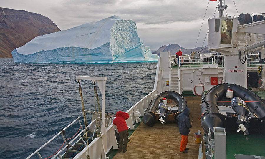
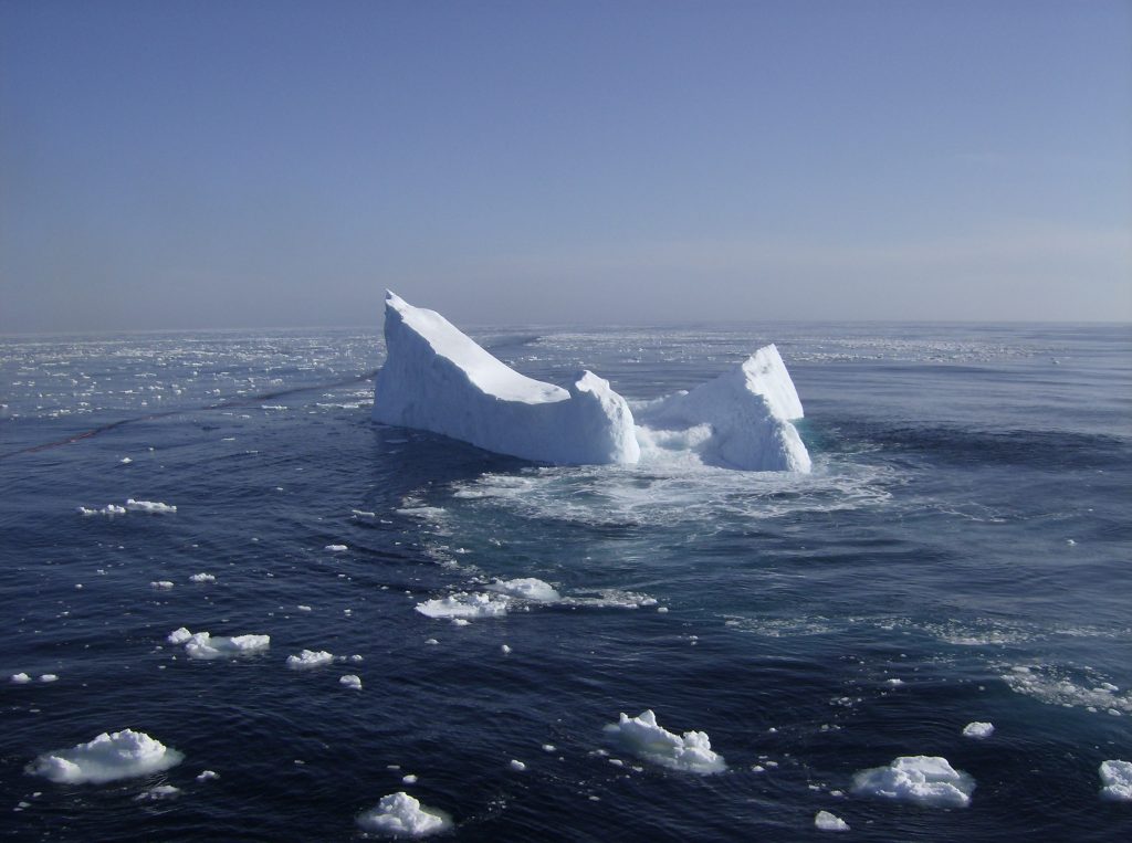
Known as iceberg alley, the northern passage along the coast of Newfoundland and Labrador is the gateway to icebergs calving from arctic glaciers and drifting south. It’s become such a phenomenon that these 10,000-year-old glacial giants have become a world class tourist attraction.
Oceans Ltd. has been providing iceberg profiling services to the offshore oil and gas industry since 2002.
Iceberg Profiling
Approximately 85% of icebergs crossing the Grand Banks originate from the tidewater glaciers of Western Greenland. The remainder of the icebergs reaching our waters comes from the East Greenland glaciers, Baffin and Ellsmere Islands. These icebergs usually take between 1-3 years to reach Newfoundland waters.
Icebergs can be huge. An ice island calved from the Petermann glacier in 2010, measuring 280 km². A 50 km² ‘fragment’ of this ice island, (about the size of Manhattan Island) drifted into Newfoundland waters within one year of the calving event.
Iceberg Monitoring and Towing
For the oil and gas industry offshore Newfoundland and Labrador, icebergs pose a risk to the shipping routes and the oil & gas exploration and production platforms.
Icebergs present challenges for oil and gas exploration and production operations in arctic and subarctic regions. Iceberg management procedures have been developed by the industry to mitigate risks involved when operating in ice infested waters.
Nine-tenths of an iceberg is below the oceans’ surface. There are risks such as calving, subsea shelves extending from the berg, the berg rolling, and deep keels causing the berg to ground. Oceans Ltd. has provided a history of service to the offshore and marine industry sectors by measuring the dimensions of the icebergs.
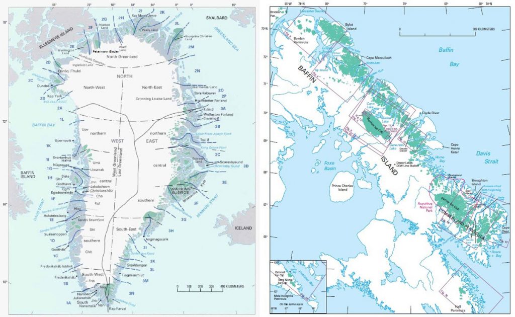
Seen here: Major glaciers in Greenland (left) and Baffin Island (right).
Image Source: US Geological Survey
During iceberg season on the east coast of Canada, icebergs will need to be managed. It’s not a matter of if; it’s a matter of when. Icebergs must be towed away from offshore rigs, production platforms, vessels and subsea equipment.
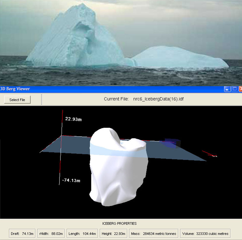
3D Iceberg Profile
Oceans Ltd. has the technology in place to efficiently profile icebergs in real-time to assist in tactical ice management decisions and minimize operational downtime. Complete profiles of the icebergs, both above and below water, are produced. The profile information can provide the iceberg draft, shape, mass, volume and a stability analysis. This information can assist the ice management vessel Captain with determining the equipment to be used to manage the iceberg, and for iceberg re-identification.
The data collected is also utilized to build a comprehensive data base to accurately model iceberg drift, establish risk mitigation to sub-sea infrastructure, and to determine global loads and pressures on offshore structures. The system is self-contained in a portable Iceberg Profile Lab, which is used as the workspace for technologists to profile the icebergs. The Lab allows for easy installation and removal on the ice management vessel.
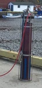 Oceans Ltd. has designed and built a sonar system to measure the dimensions of icebergs. The iceberg sonar is presently being used on the Grand Banks.
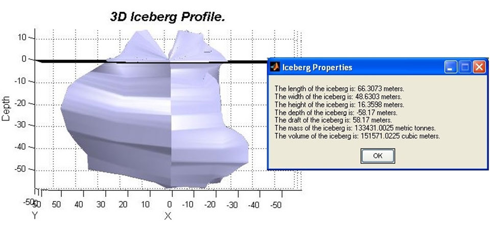
3D Iceberg Profile
In consultation with the company’s offshore clients, a need has been identified for better iceberg management operations, particularly in the area of generating a fast and reliable three-dimensional iceberg shape in real-time.
Oceans Ltd. research facilities has the knowledge and expertise to reduce the risk by predicting the icebergs’ behaviour in advance.
Why We Profile icebergs:
- Iceberg Management Operations
- Stability Analysis
- Draft (interaction with sub sea structures and flow lines)
- Shape (Tow Direction)
- Tow equipment to be used – Rope or Net
- Reduce Operational Downtime
- Draft & Mass Calculation
- Update the existing formula to estimate iceberg draft and mass
- Iceberg Deterioration
- Improve Design Criteria
- Increase the Iceberg Profile Database
- Improve Iceberg Drift Model Results
- Improve the Probabilistic Determination of Ice Loads
- Training
- Vessel Bridge and Deck Crews

